
Yuriy Kostyantynovych, who has traveled half the world, could not miss visiting one of the most interesting places for anglers in Ukraine—the Carpathians. This is a part of a mountain system located in Eastern Europe. These mountains are spread across several countries: the Czech Republic, Slovenia, Ukraine, Hungary, Poland, Romania, Serbia, and partly in Austria. The Ukrainian Carpathians are a part of the Carpathian mountain system located in western Ukraine, primarily in the Lviv, Ivano-Frankivsk, Zakarpattia, and Chernivtsi regions. The length of the Carpathians from the San River to the sources of the Suceava River is 280 km, and the width exceeds 100 km. The area is over 24,000 square kilometers. Mountain ranges, separated by longitudinal depressions and divided by deep transverse valleys, stretch from the northeast to the northwest. This region has a rich culture, folk traditions, and an interesting history.
The region is conventionally divided into two parts: Precarpathia and Transcarpathia. Precarpathia includes the Ivano-Frankivsk and Chernivtsi regions, while Transcarpathia refers to the Zakarpattia region. Part of the Lviv region is also located in the mountainous territory (the southern part). The mountains are low, of volcanic origin, and their average height is 1200-1400 meters. The territory of the Ukrainian Carpathians is inhabited. Civilization is present in this area, but, as nowhere else in Ukraine, ancient national traditions have been preserved here.
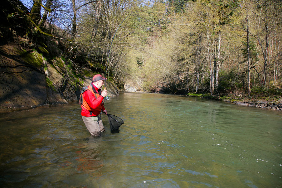
During this journey, Yuriy visited the Lutyanka River, which is a left tributary of the Uzh River, flowing through the Velkyi Bereznyi and Perechyn districts of the Zakarpattia region. This full-flowing river originates in an east-west direction from the village of Lyuta, on the slopes of Hostra Hora mountain, in the northwestern part of the Polonynian Ridge. The river is 47 km long, with a basin area of 219 square kilometers. The valley is V-shaped, 30-60 meters wide, and in some sections, it expands to 250-300 meters. The usual width of the floodplain is 20-30 meters. The riverbed is winding and rapid, and before reaching the village of Lyuta, it is unbranched; below, there are small islands. The river flows past several villages (Lyuta, Chernogolova, Dubrynychi, where it merges with the Uzh River). Initially, the Lyuta flows northwest, at the village of Lyuta it turns southwest, then downstream at a right angle turns northwest again, and then again at a right angle—almost north, gradually in a southwest, west, and again northwest direction. Before merging with the Uzh River, it makes several rectangular zigzags.
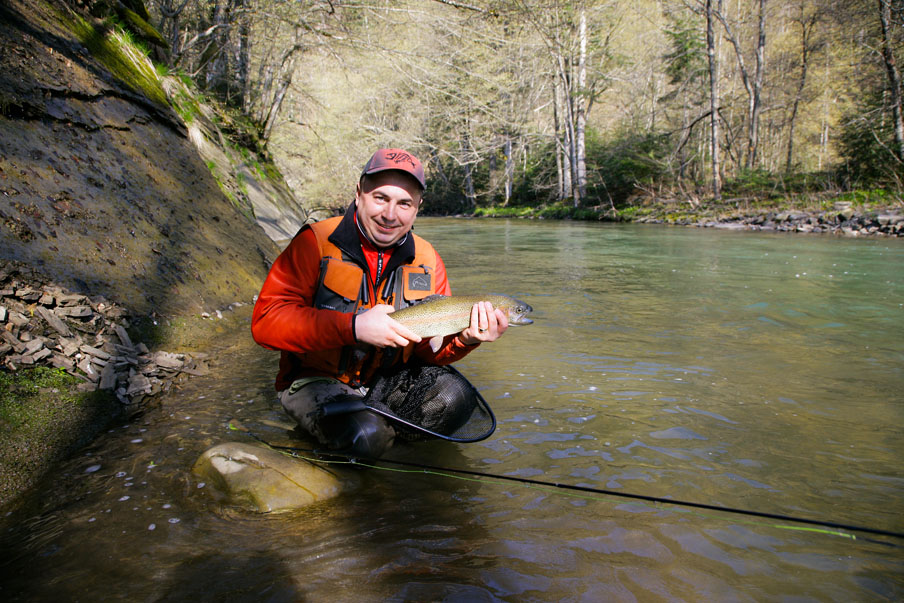
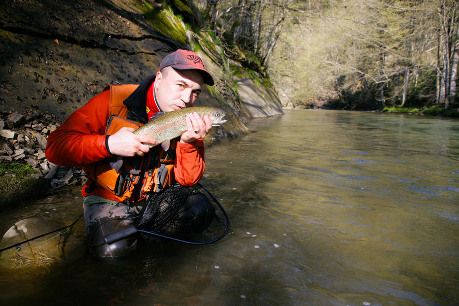
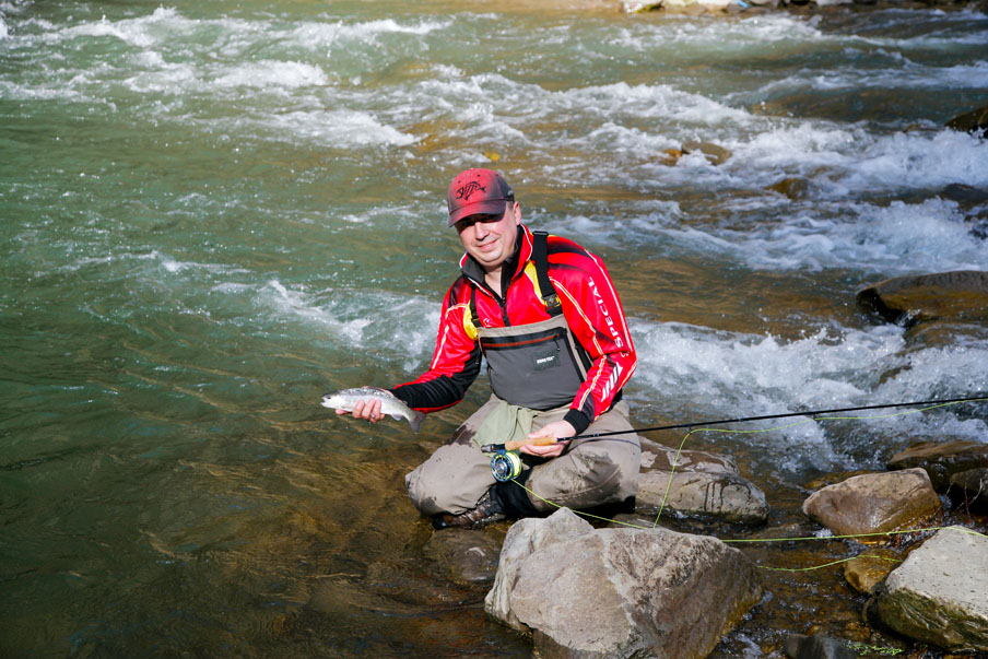
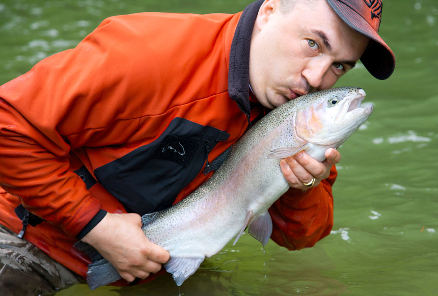
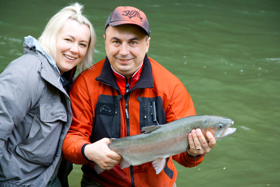
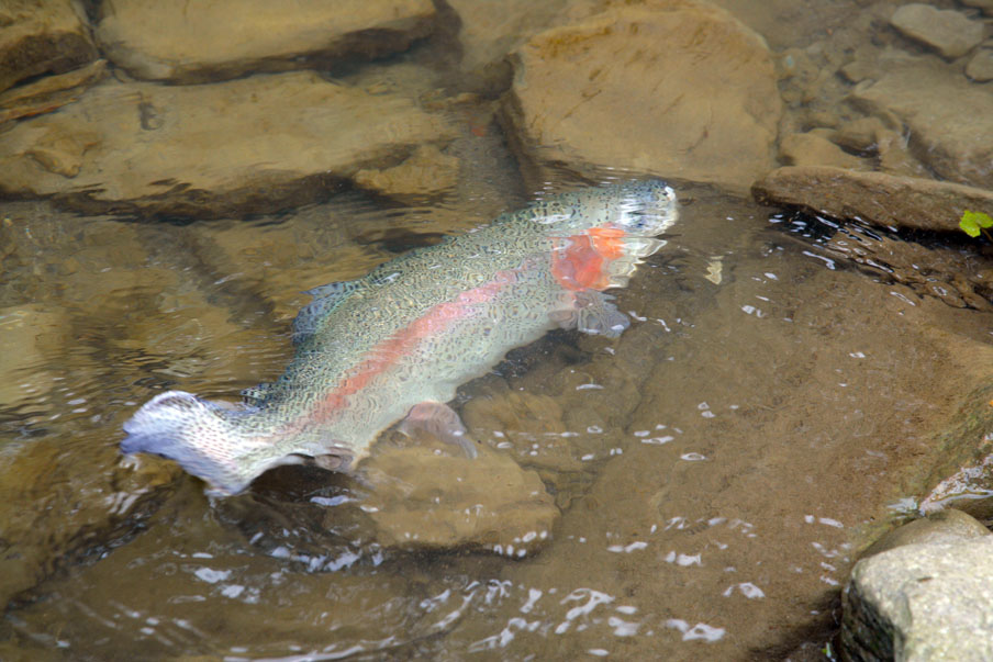
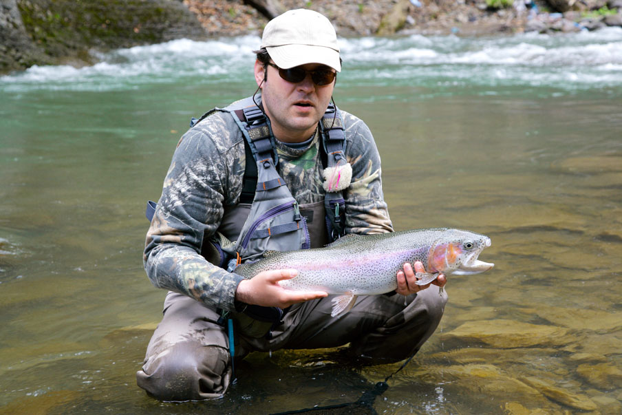
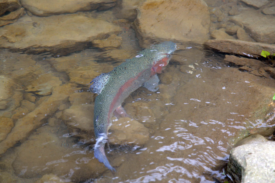
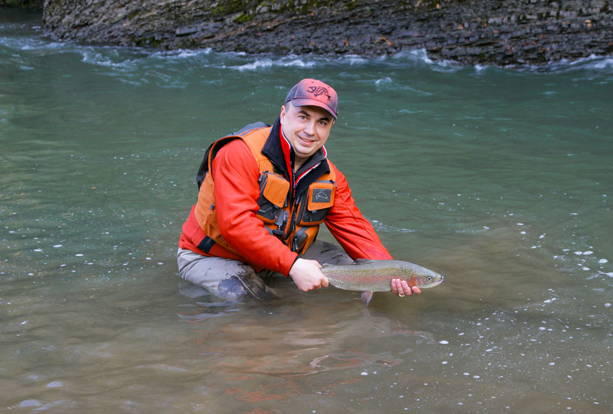
The goal of the expedition was to catch rainbow trout, which is popularly known as “rainbow.” In natural waters, rainbow trout, also known as “mikizha,” can reach 40-50 cm in length and weigh up to 1.5 kg. The color of the body changes depending on the ground, water clarity, and other environmental factors. The belly is usually silvery-white, and the back is greenish. Numerous dark spots are located on the body and fins of the fish. Along the lateral line is a pale pink stripe, and the gill covers are pink. The intensity of the color increases during spawning. Mikizha is a cold-water fish, preferring clear, transparent waters and mountain rivers. Rainbow trout is a predator. Its diet includes minnows, topmouth gudgeon, Siberian stone loach, dace, chicks, and small rodents. This fish species also feeds on mollusks, larvae, and adult insects.
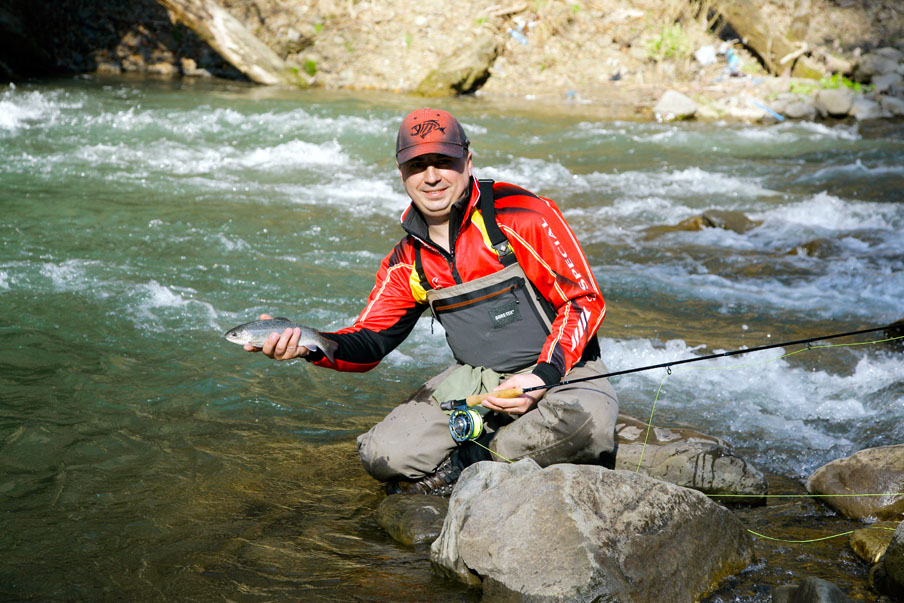
As Yuriy notes, despite the small size of the rainbow trout caught during the expedition, the fish is very lively, and the process of landing it, due to the strength of its jerks and behavior, resembles that of a chub. However, the trout’s jumps are more impressive than those of a pike! Even 300-400-gram specimens caused adrenaline rushes, and thanks to the large number of trout caught, the trip to the Carpathians on the Lutyanka River will long remain in the angler’s memories.